Ref. ANT-082 · Art
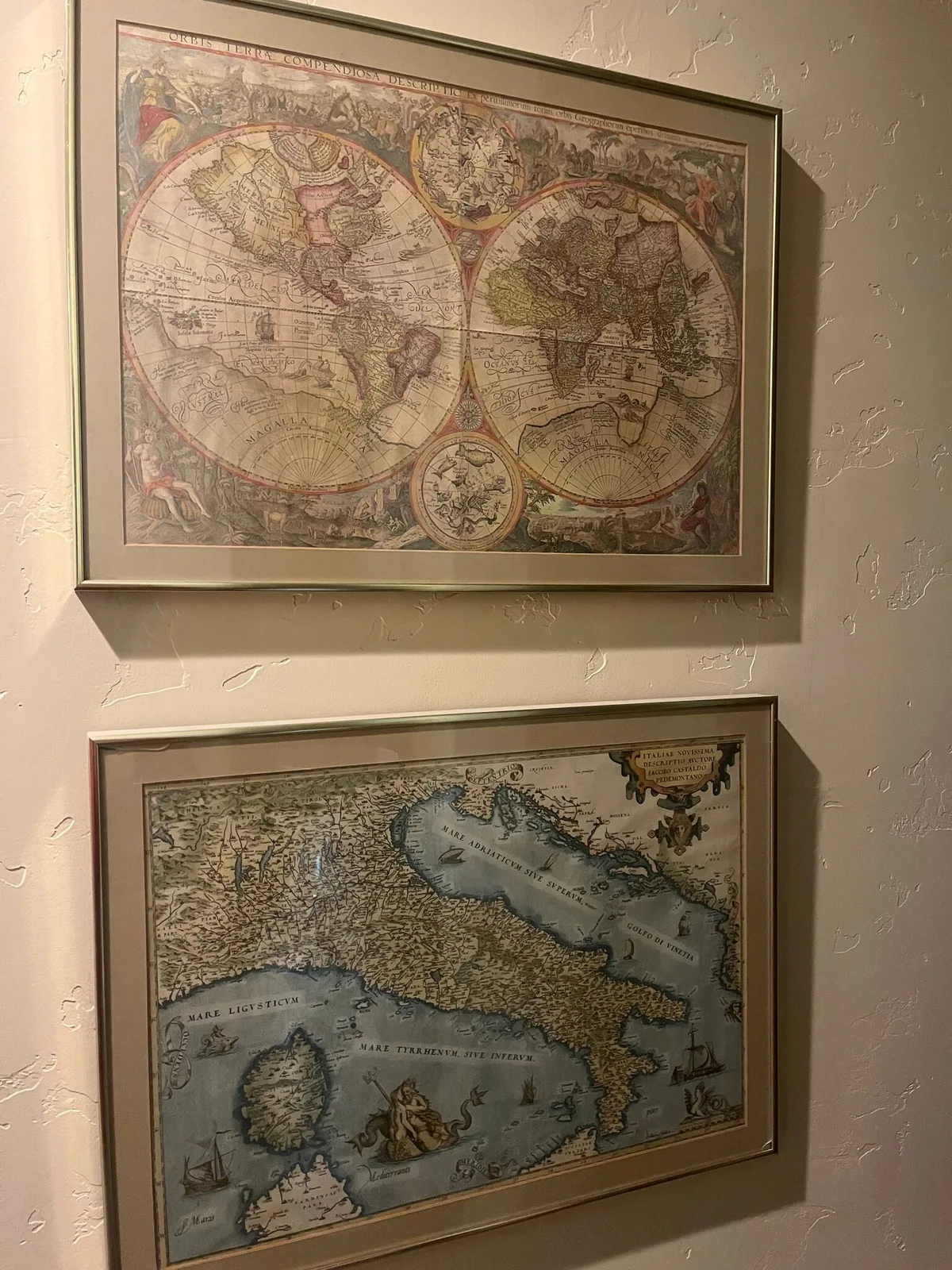
Set of four older map reproductions: two world maps, Italy, and Africa
- Period
- after 16th–18th-century originals
- Style
- Renaissance and Baroque cartography
- Materials
- colored map reproductions on paper, matted and framed
Four framed maps hung as a set, each in a matching gold-tone metal frame with a grey mat. The first is a double-hemisphere world map titled "Orbis Terrae Compendiosa Descriptio," with small celestial roundels at top and bottom and allegorical figures filling the borders. The second is Abraham Ortelius's map of Italy, "Italiae Novissima Descriptio Auctore Iacobo Castaldo Pedemontano" (after Giacomo Gastaldi), with sea creatures and sailing ships in the Ligurian, Tyrrhenian, and Adriatic seas. The third is an eighteenth-century-style map of Africa with a pictorial title cartouche at lower left, and the fourth is a world map titled "Orbis Terrarum Nova et Accuratissima Tabula," the title used by Nicolaes Visscher, framed by allegorical scenes. All four are older map reproductions rather than original atlas sheets.
Enquiries · Mr Tomlinson · Enquire about this piece